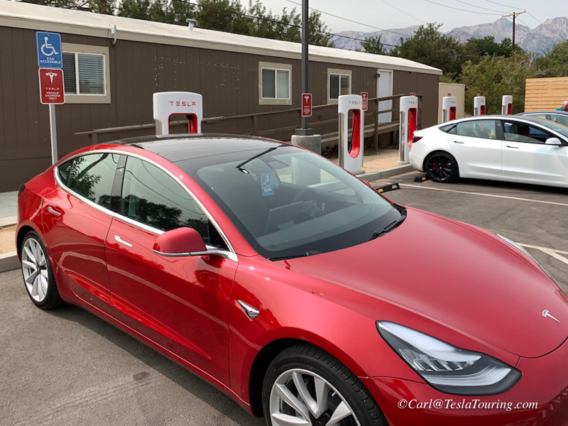
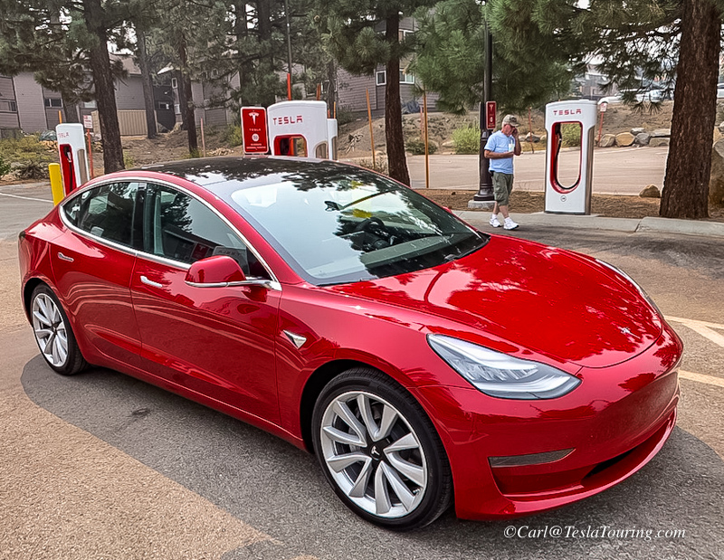
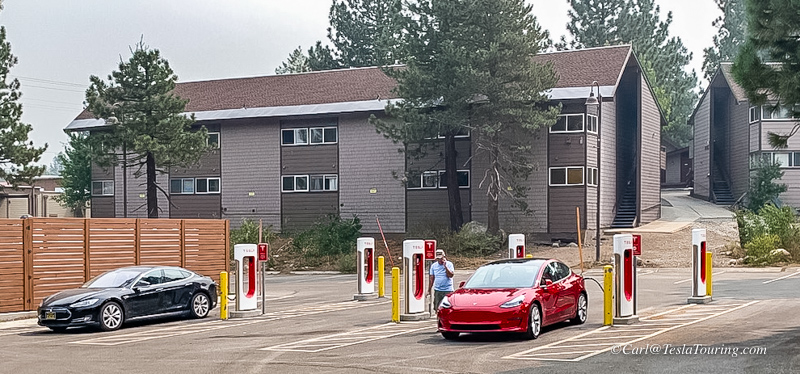
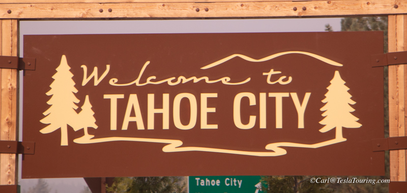
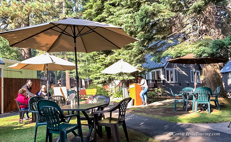
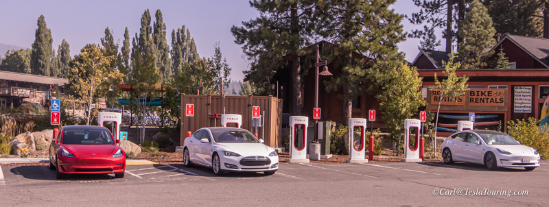
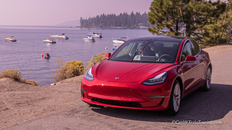
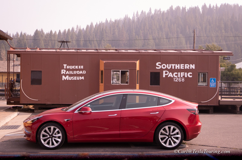
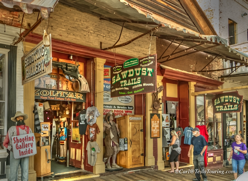
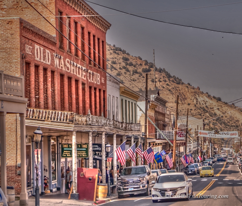
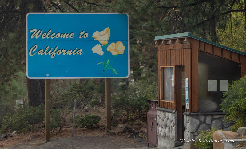
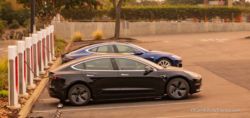
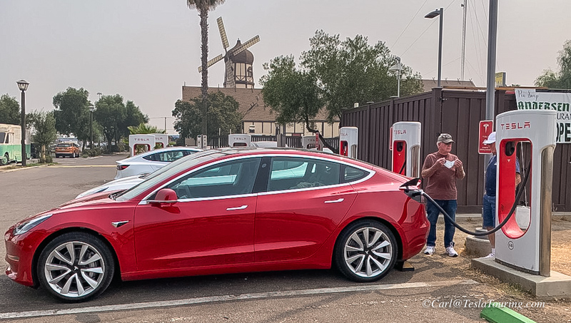
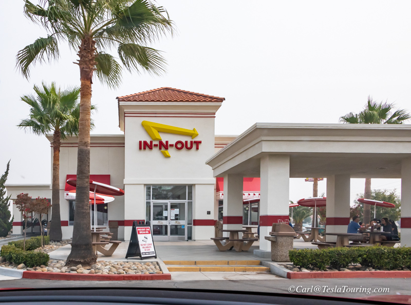
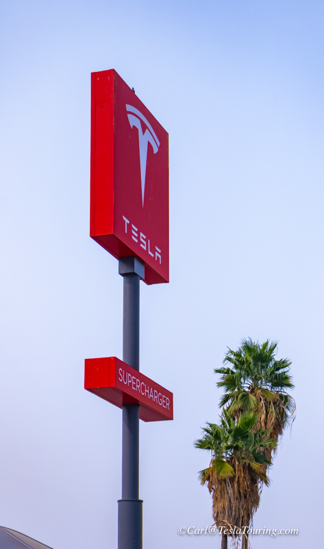
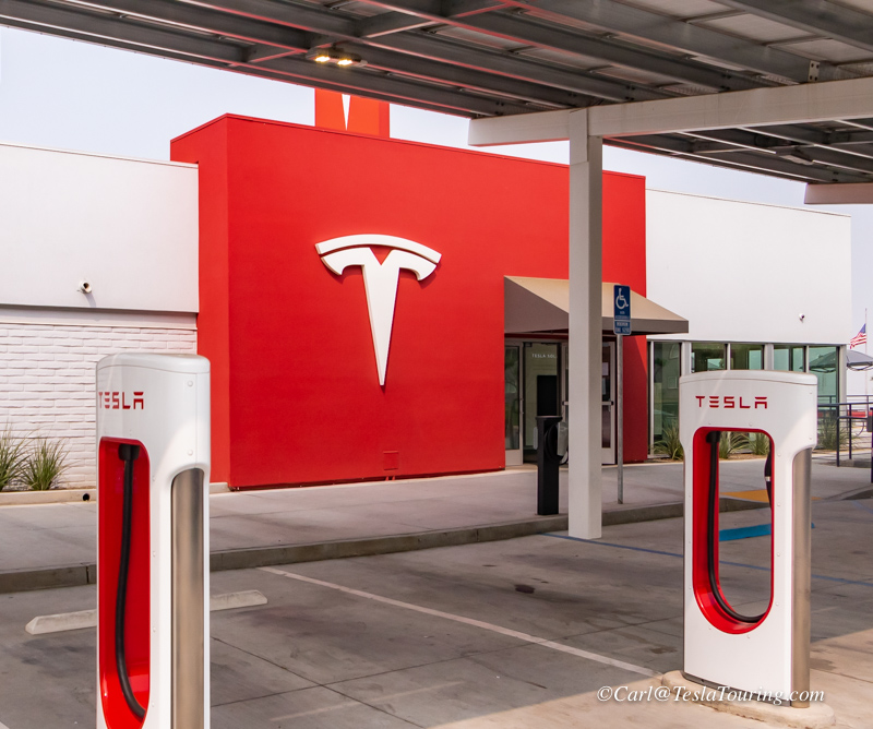
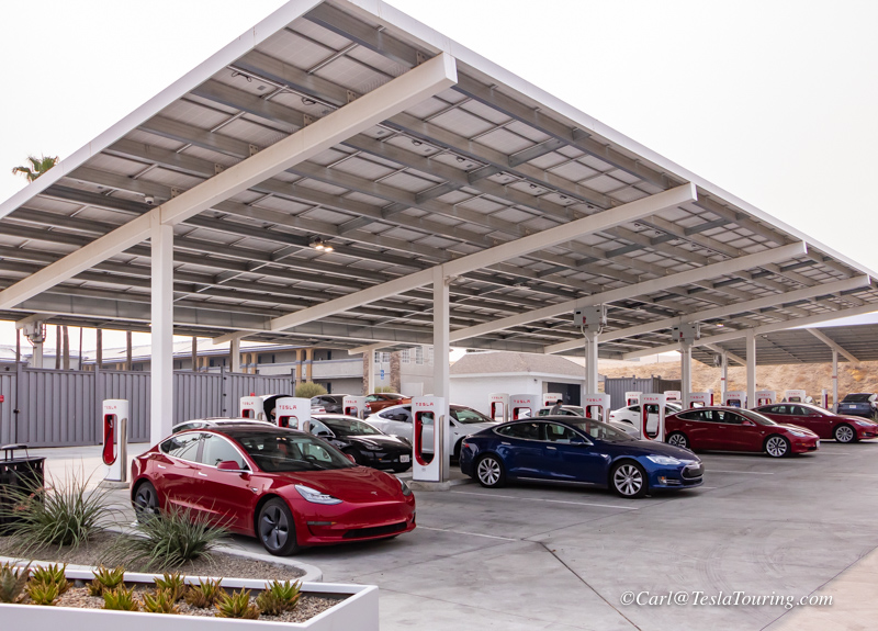
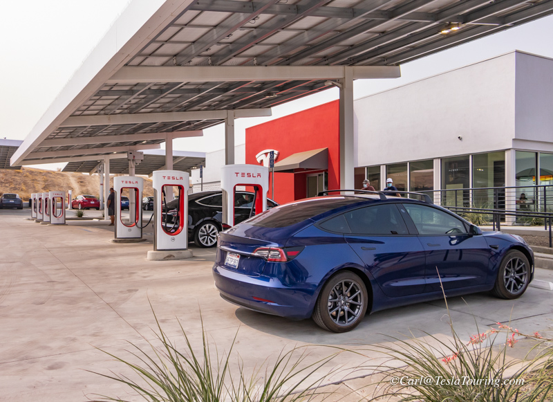
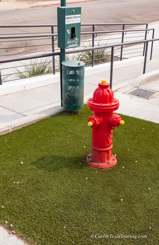
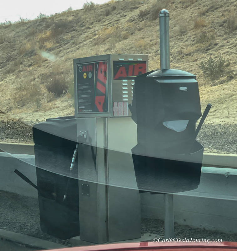
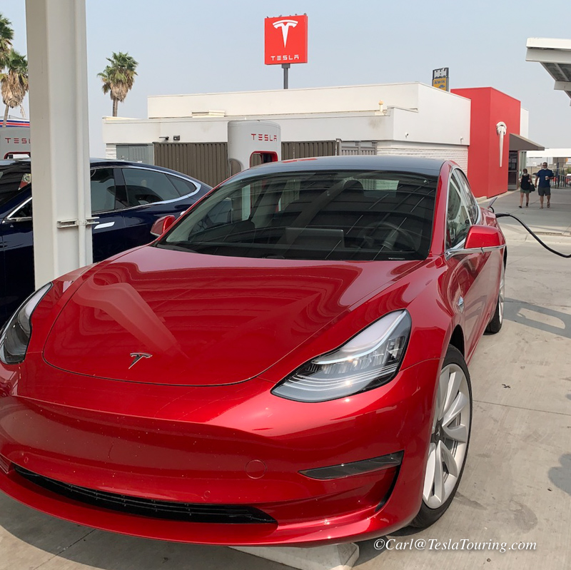
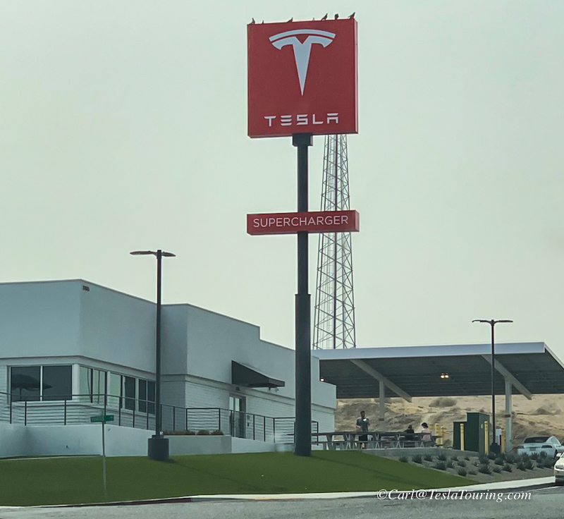
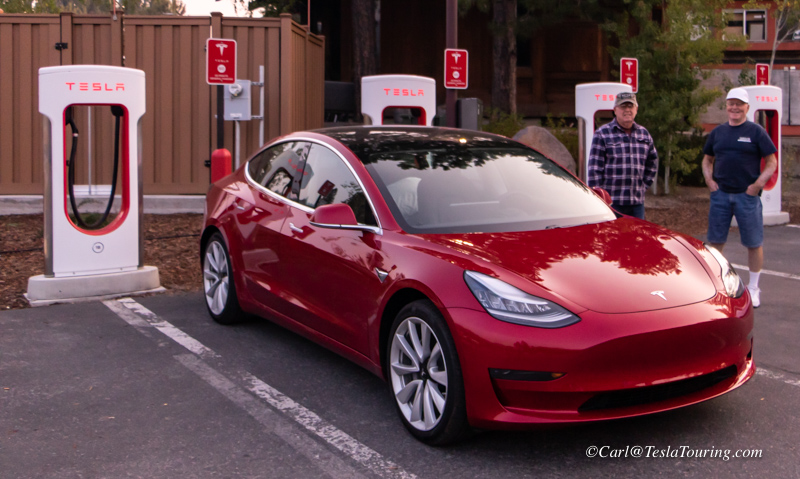
 Juicing up at the Tahoe City, CA, Supercharger and heading across I-80 then south on Hwy-99
 to
Stockton where we took I-5 to Pasadena.
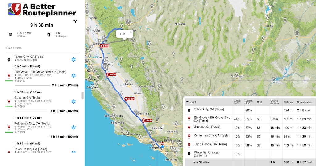
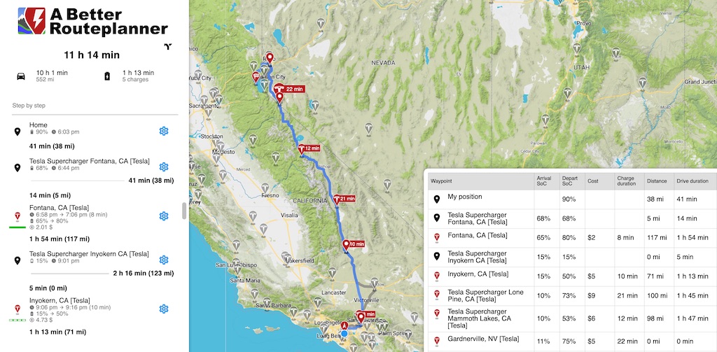
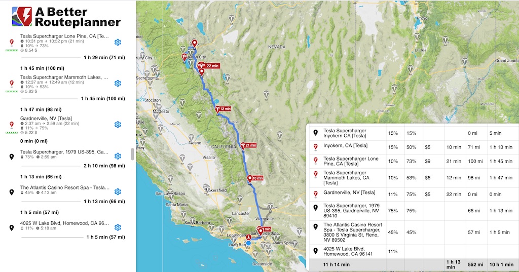
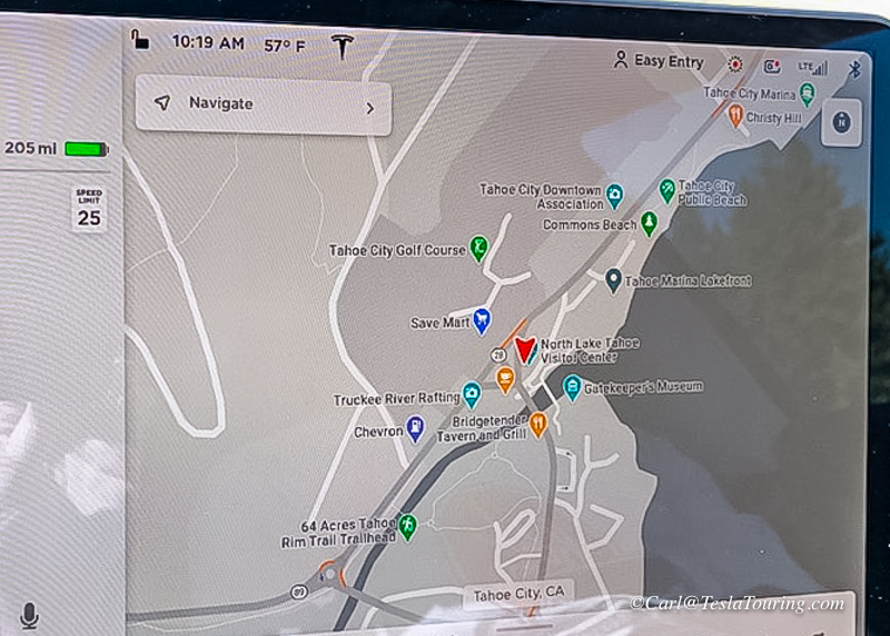
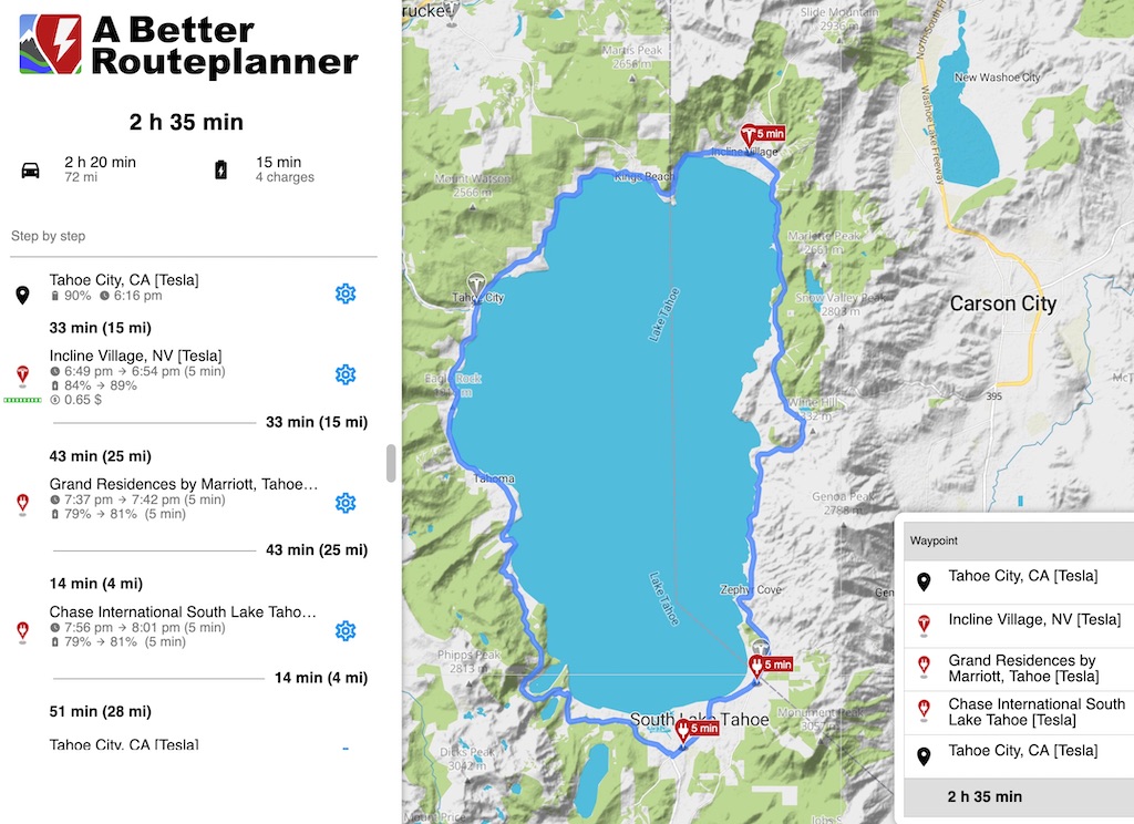
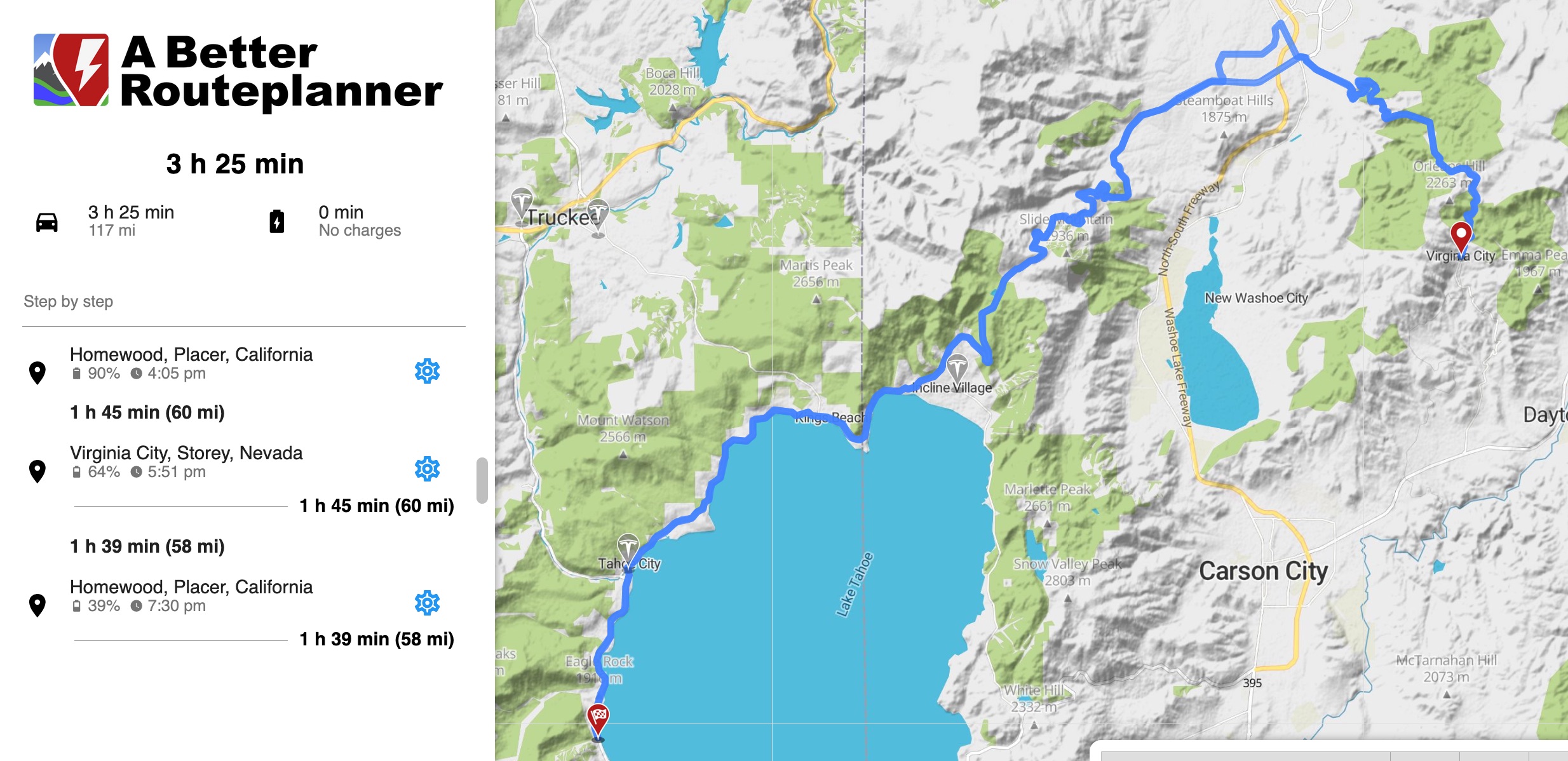
 The A Better Routeplanner route we followed home.
ABRP
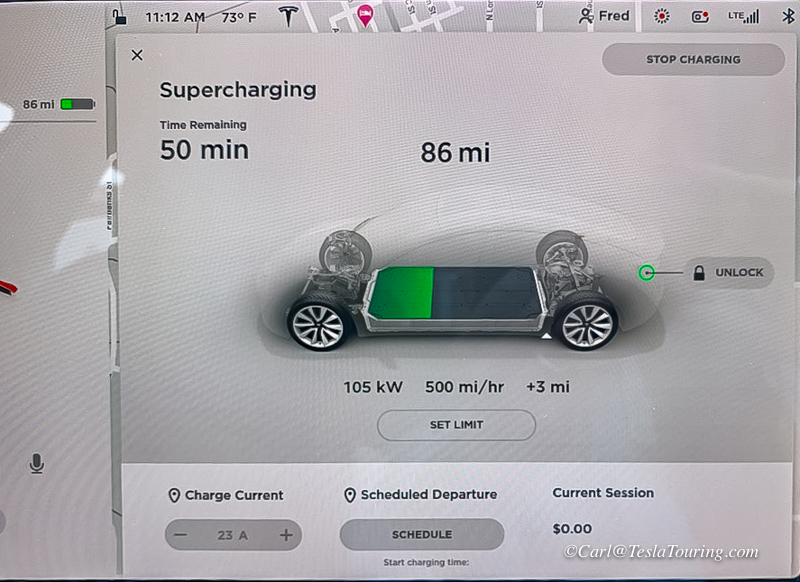
is much more detailed than the Navicomputer in the Tesla Model 3.
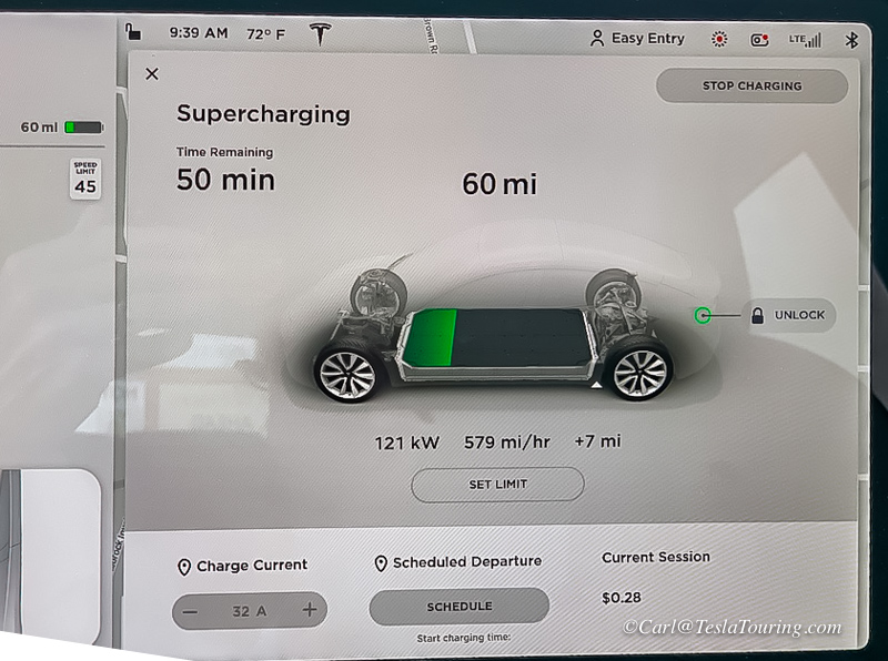
As you can see in the screen shot above, it first gives you a summary of
the entire trip in hours and minutes; miles; and number of charges and
total time of charging. At each charging stop, it shows that it
is a Tesla Supercharger and how many stalls are free, on the
left. It also shows the amount of time and miles to your next
charging stop. The time of day when you will arrive and depart
relative to time you are to charge (We were seldom ready to go when the
car was.) The arrival state of charge in percentage and the departure
state of charge (We often charged longer so we would arrive at the next
Supercharger with more than 10%.) The $ amount of your charge; and
drive time to your next Supercharger.
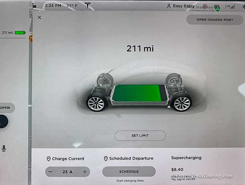
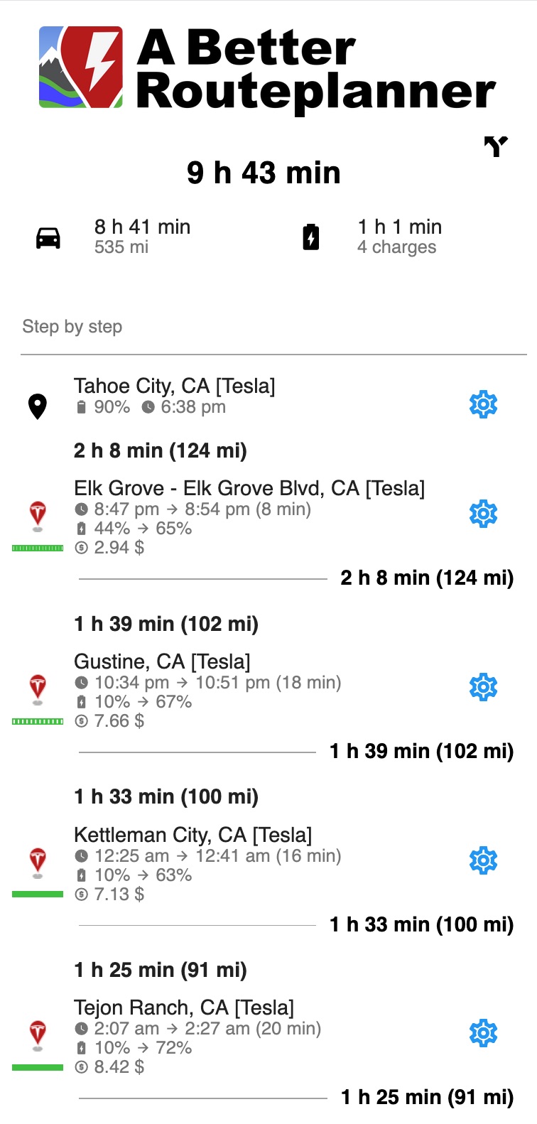
I like to
have this printed out and with me on the trip. I would glance at
the printout and when I got back in the car after charging, I would put
in the next Supercharger as our destination on the Tesla's
navicomputer. This way, the car could precondition the battery,
if necessary, for the fastest possible charge at the next Supercharger..
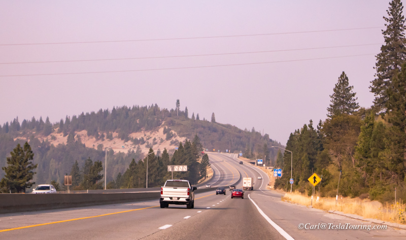
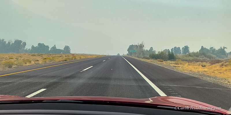
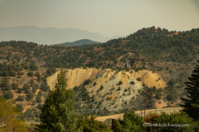
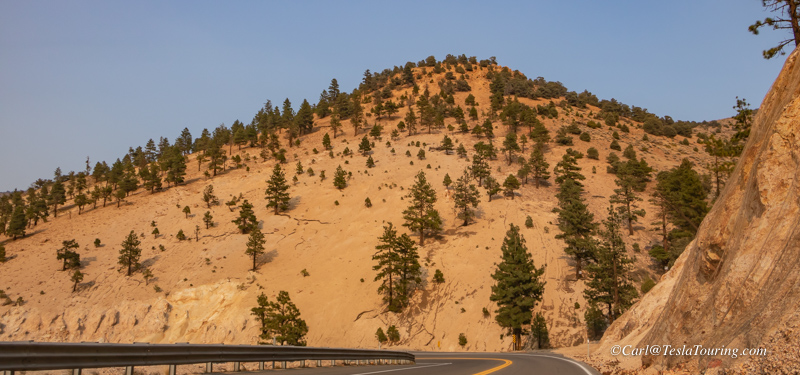
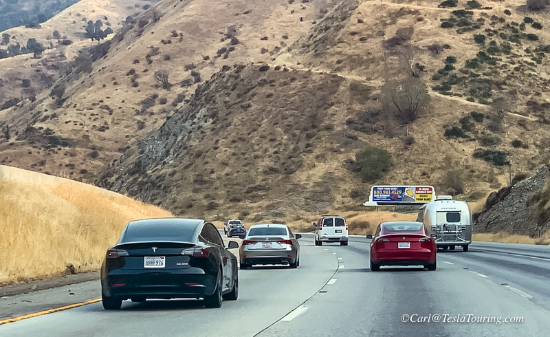
 Left,
I-80. Crossing Hwy. 50 on which Paul and I had crossed the nation
in 2004, and along which I was born on a farm in Hayden, Indiana.
Left,
I-80. Crossing Hwy. 50 on which Paul and I had crossed the nation
in 2004, and along which I was born on a farm in Hayden, Indiana.